
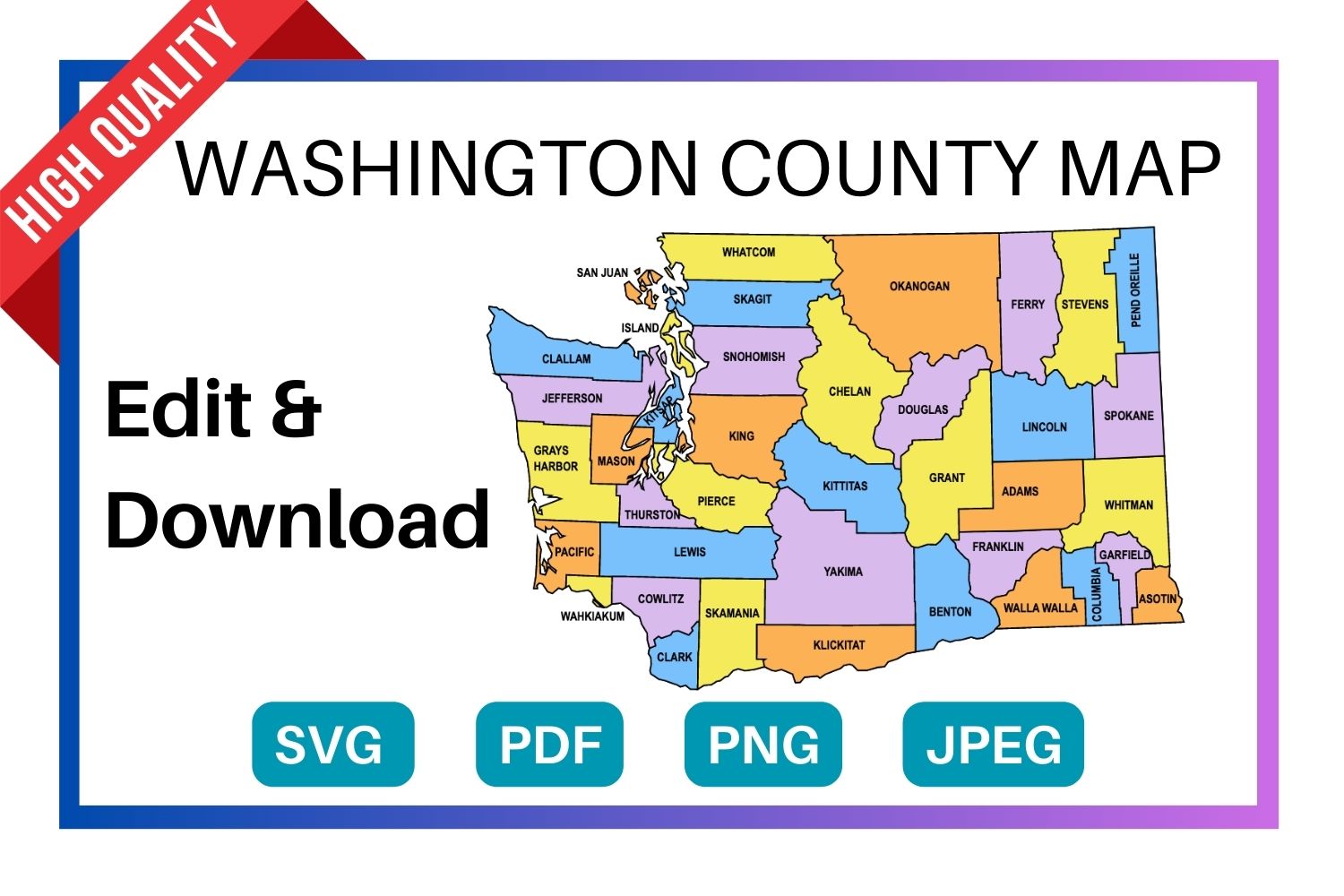
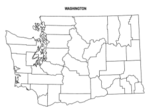
Below are the FREE editable and printable Washington county map with seat cities. These printable maps are hard to find on Google. They come with all county labels (without county seats), are simple, and are easy to print. This Washington county map is an essential resource for anyone seeking to explore and gather more information about the counties of the state.
Listed below are the different types of Washington county map. Click on the “Edit Download” button to begin.
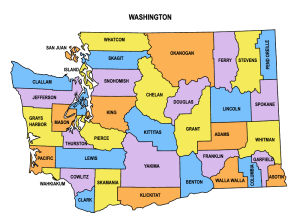
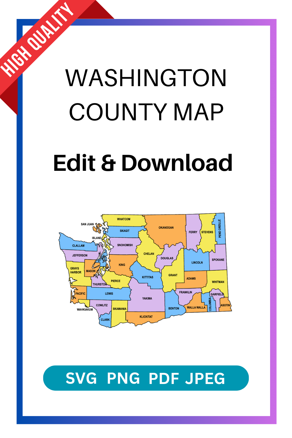
1. Washington County Map (Multi-colored)
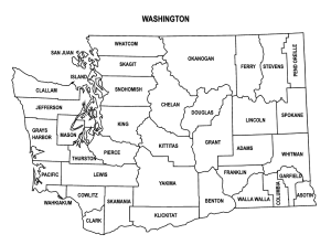
2. Printable Washington County Map Outline with labels
3. Washington Colored Blank County Map
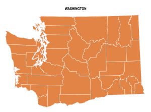
4. Washington County Outline Map
SUGGEST US
We are constantly working on the enhancment by adding various new templates. If you experience any issues or you have any suggestions for us with this editor tool, feel free to contact us at info@vectordad.com.
The templates includes Washington multi colored county map, Washington county map outline with labels, Washington colored blank county map, and Washington county outline map with border. Please share with us any templates that you would like us to add to the gallery.
Washington county map, whether editable or printable, are valuable tools for understanding the geography and distribution of counties within the state. Printable maps with county names are popular among educators, researchers, travelers, and individuals who need a physical map for reference or display. They can be used in classrooms for teaching geography, in offices for planning and analysis, or as wall maps for decoration.With their customizable and printable features, The maps of Washington counties provide flexibility and convenience for users to use maps with county area boundaries that meet their specific needs. Whether used for educational, professional, or personal purposes.
List of 39 Washington counties with seat cities
- Adams County – Ritzville
- Asotin County – Asotin
- Benton County – Prosser
- Chelan County – Wenatchee
- Clallam County – Port Angeles
- Clark County – Vancouver
- Columbia County – Dayton
- Cowlitz County – Kelso
- Douglas County – Waterville
- Ferry County – Republic
- Franklin County – Pasco
- Garfield County – Pomeroy
- Grant County – Ephrata
- Grays Harbor County – Montesano
- Island County – Coupeville
- Jefferson County – Port Townsend
- King County – Seattle
- Kitsap County – Port Orchard
- Kittitas County – Ellensburg
- Klickitat County – Goldendale
- Lewis County – Chehalis
- Lincoln County – Davenport
- Mason County – Shelton
- Okanogan County – Okanogan
- Pacific County – South Bend
- Pend Oreille County – Newport
- Pierce County – Tacoma
- San Juan County – Friday Harbor
- Skagit County – Mount Vernon
- Skamania County – Stevenson
- Snohomish County – Everett
- Spokane County – Spokane
- Stevens County – Colville
- Thurston County – Olympia
- Wahkiakum County – Cathlamet
- Walla Walla County – Walla Walla
- Whatcom County – Bellingham
- Whitman County – Colfax
- Yakima County – Yakima
Pin it here
State County Maps (Printable State Maps with County Lines)
- Alabama
- Alaska
- Arizona
- Arkansas
- California
- Colorado
- Connecticut
- Delaware
- Florida
- Georgia
- Hawaii
- Idaho
- Illinois
- Indiana
- Iowa
- Kansas
- Kentucky
- Louisiana
- Maine
- Maryland
- Massachusetts
- Michigan
- Minnesota
- Mississippi
- Missouri
- Montana
- Nebraska
- Nevada
- New Hampshire
- New Jersey
- New Mexico
- New York
- North Carolina
- North Dakota
- Ohio
- Oklahoma
- Oregon
- Pennsylvania
- Rhode Island
- South Carolina
- South Dakota
- Tennessee
- Texas
- Utah
- Vermont
- Virginia
- Washington
- West Virginia
- Wisconsin
- Wyoming
Uses and Types of Materials
You can utilize these patterns, stencils, templates, models, and shapes for creating other unique objects or sublimation. With these designs you can create your own craft personalized, custom projects for your home, or even for selling online or at craft shows. These versatile designs are perfect for coloring pages and sheets, crochet patterns, drawing and painting, SVG files for Cricut and Silhouette machines, hobbies, holiday crafts, iron-on designs, kid crafts, laser cutting, needlecrafts, preschool printables, quilting, sewing, scrapbooking, sign making, string art (nail art), wall art, wedding crafts, woodworking projects, and other delightful DIY arts and crafts. Now create and make something truly special with these wonderful design resources!
These printable patterns can be easily transferred onto an array of materials, such as cardboard, cardstock, canvas, construction paper, fabric, felt, foam, glass, leather, metal, notebook paper, paper, parchment paper, photo paper, plastic, plexiglass, poster board, rubber, steel, vinyl, wax paper, wrapping paper, wood, and so many other types of materials. Experiment with different mediums and let your imagination soar as you create stunning projects that reflect your unique style and vision.
STEP BY STEP HELP TUTORIAL
It’s super easy and fun to edit and download county map in no time. Choose the shape templates, click the edit/download button and follow the steps below.