
- Other US Maps
- ▸ Alabama
- ▸ Alaska
- ▸ Arizona
- ▸ Arkansas
- ▸ California
- ▸ Colorado
- ▸ Connecticut
- ▸ Delaware
- ▸ Florida
- ▸ Georgia
- ▸ Hawaii
- ▸ Idaho
- ▸ Illinois
- ▸ Indiana
- ▸ Iowa
- ▸ Kansas
- ▸ Kentucky
- ▸ Louisiana
- ▸ Maine
- ▸ Maryland
- ▸ Massachusetts
- ▸ Michigan
- ▸ Minnesota
- ▸ Mississippi
- ▸ Missouri
- ▸ Montana
- ▸ Nebraska
- ▸ Nevada
- ▸ New Hampshire
- ▸ New Jersey
- ▸ New Mexico
- ▸ New York
- ▸ North Carolina
- ▸ North Dakota
- ▸ Ohio
- ▸ Oklahoma
- ▸ Oregon
- ▸ Pennsylvania
- ▸ Rhode Island
- ▸ South Carolina
- ▸ South Dakota
- ▸ Tennessee
- ▸ Texas
- ▸ Utah
- ▸ Vermont
- ▸ Virginia
- ▸ Washington
- ▸ West Virginia
- ▸ Wisconsin
- ▸ Wyoming
Free US printable maps of the whole country for the classroom, homeschool geography lessons, road-trip planning and study sessions. Every map on this page comes in four formats — a high-resolution PNG, a fully editable SVG, and print-ready PDFs sized for both A4 and US Letter paper — so you can print at home, at school or at a copy shop without resizing anything.
Pick the version that fits your lesson: a decorative poster for the wall, a labelled map for reference, a states-and-capitals map for memorisation drills, or a blank outline map for quizzes and colouring. All four are free to download and print as many times as you like.
Free Printable United States Map Templates
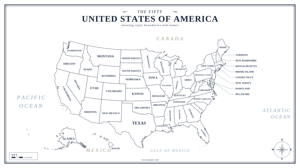
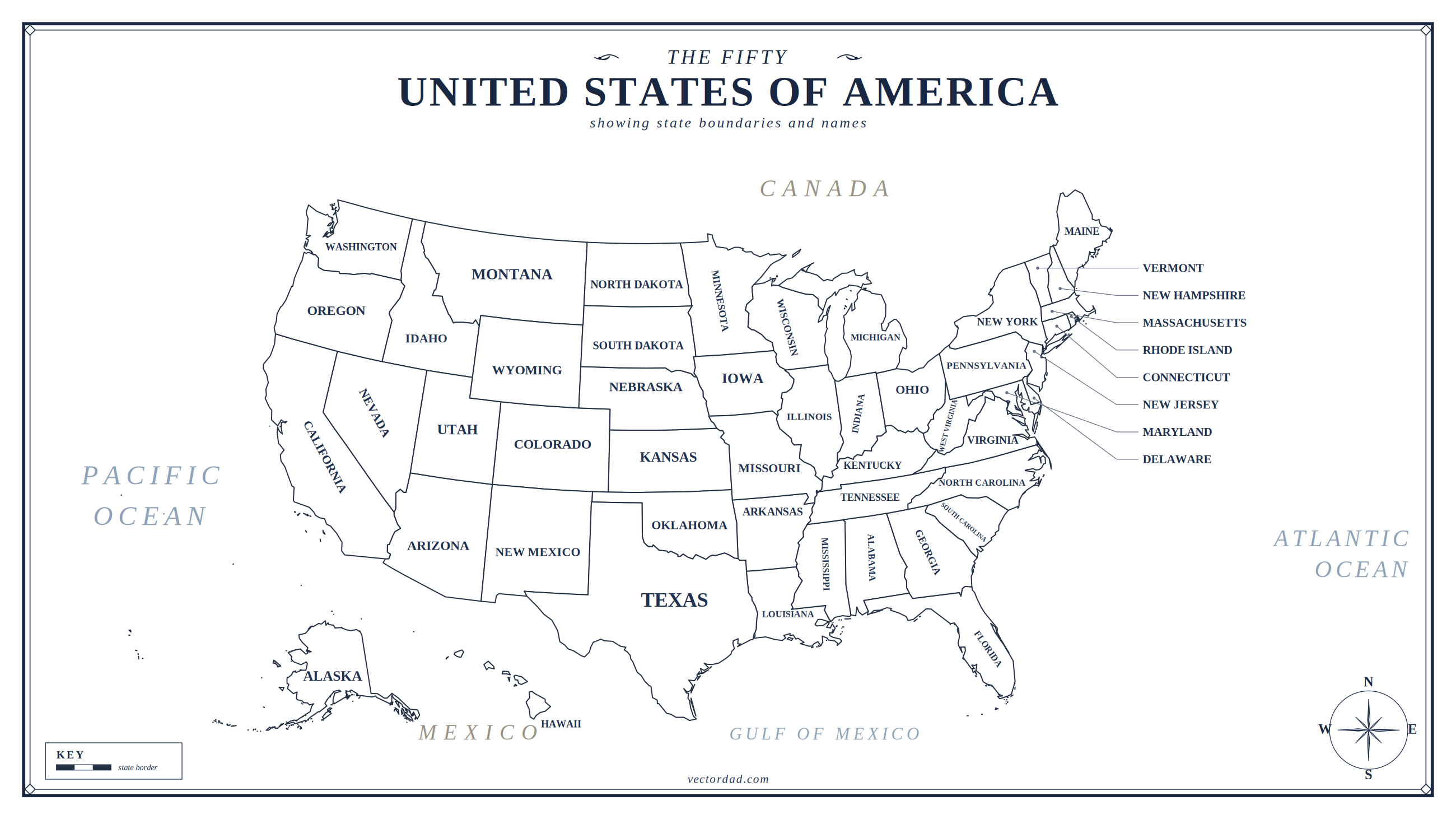
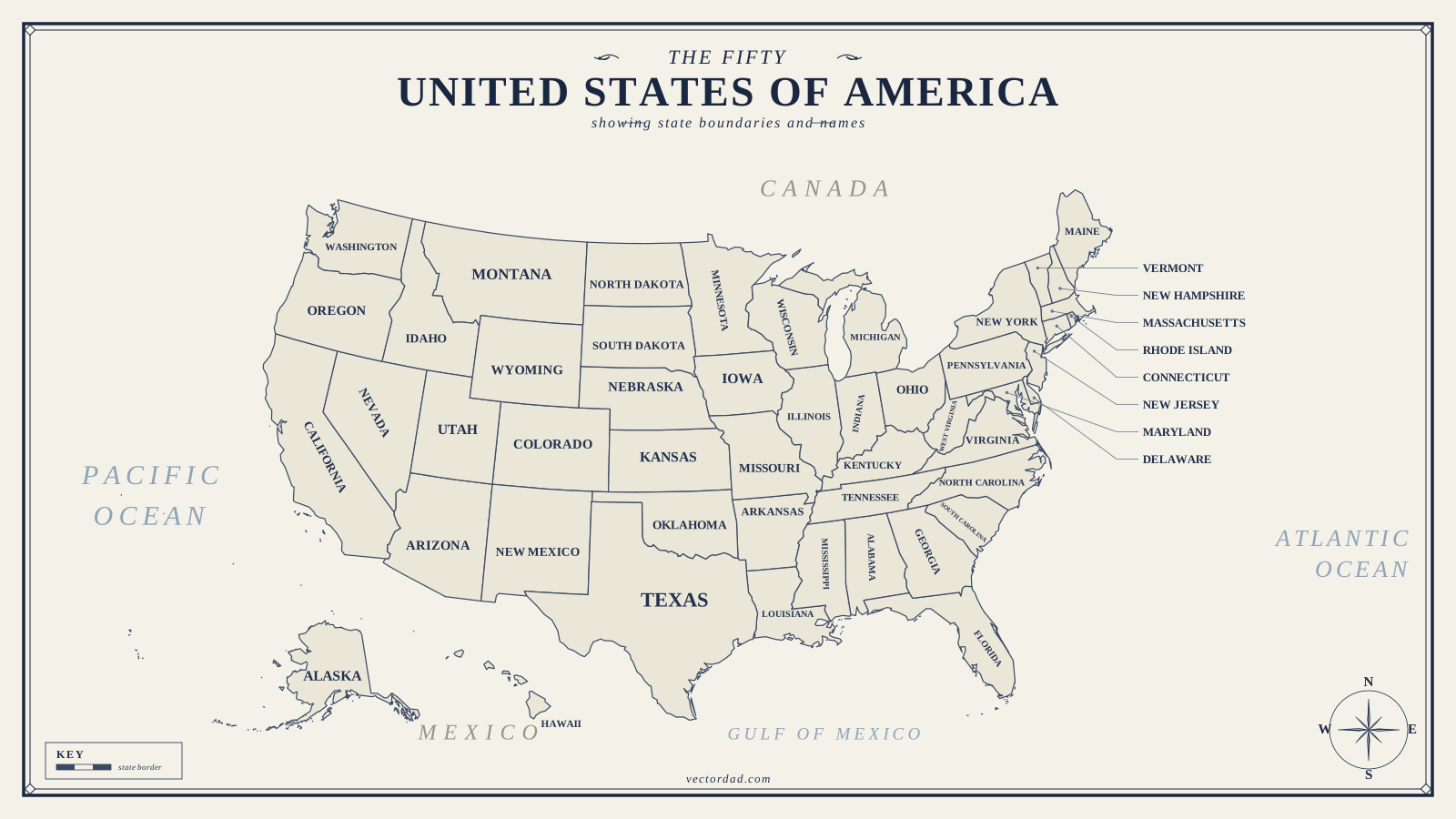
US Map Poster – The Fifty United States of America
A framed, vintage-style wall map in navy and cream, complete with compass rose, ocean labels and a legend. Print it on A4 or Letter for a desk reference, or send the PDF to a print shop for a full-size classroom poster — the SVG is vector, so it stays sharp at any size.
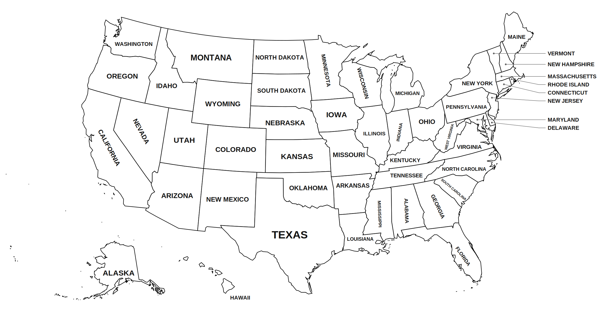
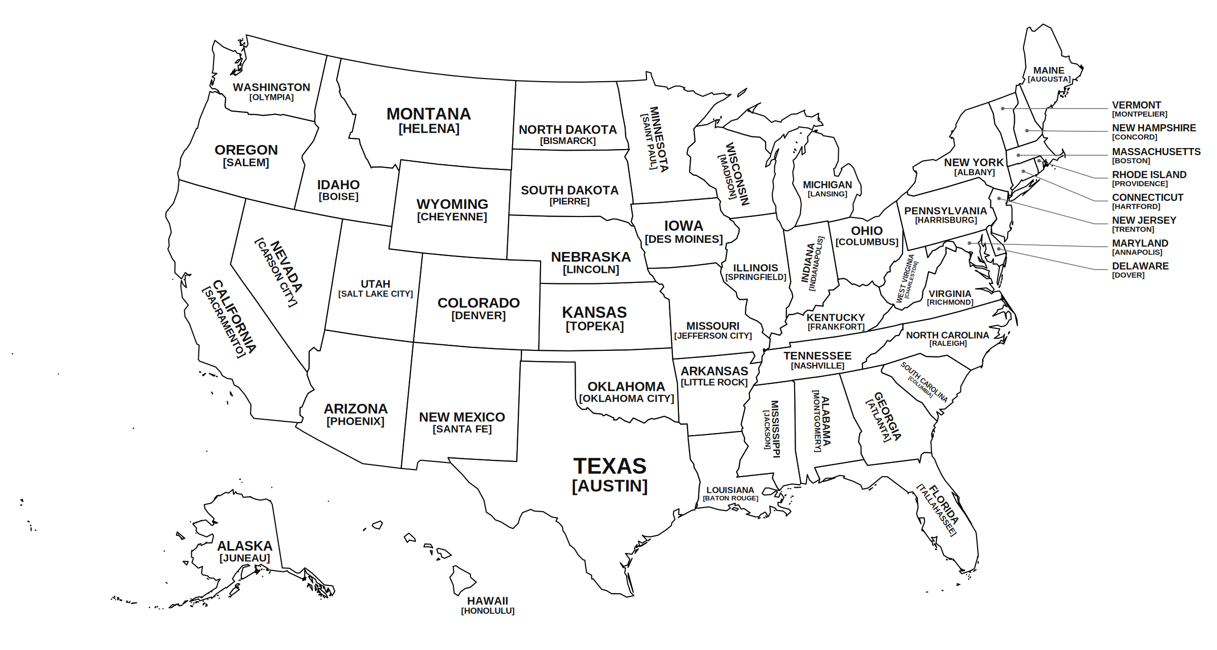
US Map with State Names
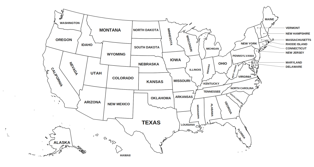
A clean black-and-white reference map with all 50 states labelled. Leader lines pull the labels for Vermont, New Hampshire, Massachusetts, Rhode Island, Connecticut, New Jersey, Maryland and Delaware out to the margin so the crowded north-east stays readable. It prints beautifully in greyscale, which makes it the cheapest one to run off in bulk.
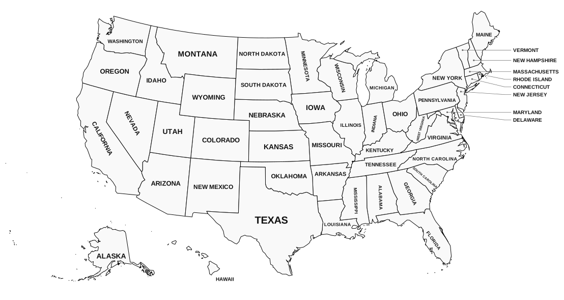
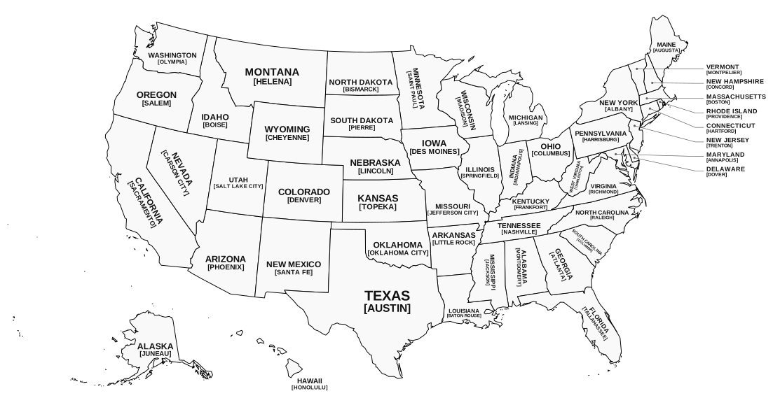
US Map with States and Capitals
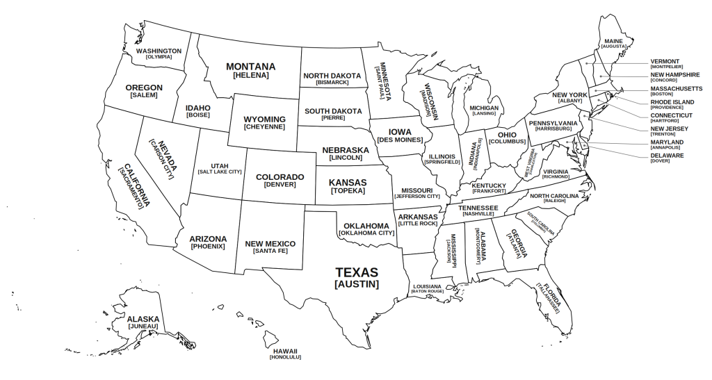
The same base map with each state’s capital city printed beneath the state name. This is the one to hand out before a capitals test — pair it with the blank outline map below and students can fill in from memory, then self-check against this sheet.
Blank US Map Outline
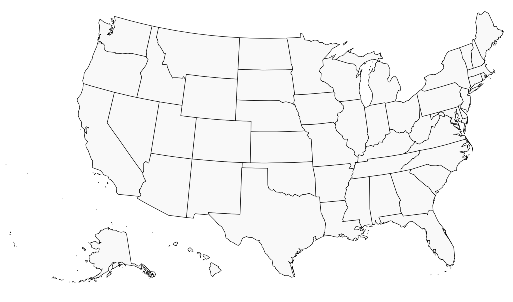
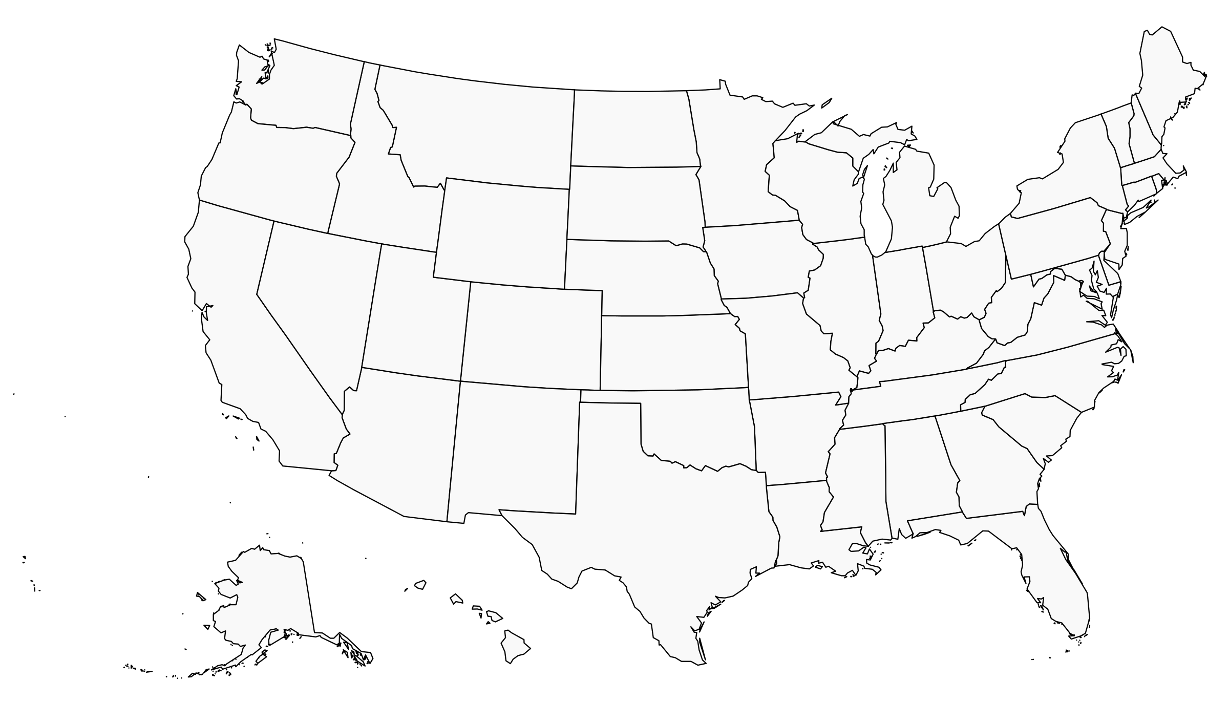
State borders only, no labels — the workhorse of the set. Use it for naming quizzes, capital-city drills, colouring by region, tracking the states you have visited, or plotting a road trip. Because the SVG keeps every state as a separate path with a data-name attribute, you can also recolour individual states in Cricut Design Space, Inkscape or Illustrator without any tracing.
How to print these US maps
The PDFs are already laid out landscape at the correct paper size, so the safest route is to open the A4 or Letter PDF and print at 100% scale (turn off “fit to page” or “shrink oversized pages”, which is what usually causes a stray white margin). If you are printing from the PNG instead, choose landscape orientation and let your printer scale to fit — the files are 2400 pixels wide or more, which is well above the 300 dpi you need for a crisp full-page print. For a laminated classroom copy, print onto card stock or run the sheet through a laminator afterwards; for a large wall map, take the SVG or PDF to a print shop, since neither will pixelate when enlarged.
Ways to use the blank US map in class
The unlabeled outline is the most versatile file here. Younger students can colour each state a different shade and build a key down the side, which quietly teaches both geography and legend-reading. Older students can race to fill in state names, then swap sheets and mark each other against the labelled version. For a longer project, have students shade states by a single variable — population, statehood date, time zone, or biome — and the same outline becomes a choropleth exercise. Families use it too: pin one up and colour in each state as you visit it.
Looking for individual state maps?
If you need a single state rather than the whole country, we have a separate collection of 50 free printable USA state maps — each one with outline, county and stencil versions ready for printing or cutting.